If Naval Station Norfolk is your next duty station, your daily drive will shape your routine more than almost anything else. You want a home that fits your lifestyle and a commute that does not eat your day. This guide gives you clear, neighborhood-by-neighborhood options with typical drive ranges, routes to know, and tips to make your PCS smoother. Let’s dive in.
How to think about your commute
Naval Station Norfolk is the largest naval base in the world, so traffic concentrates during shift changes. Drive times vary by time of day. A route that takes 10 to 15 minutes off peak may take 20 to 40 minutes during rush hour. Plan using ranges and check live routing before you leave.
Gate access and hours can change for operations and events. Before you lock in a neighborhood, verify gate locations, hours, and entry requirements through official base information and visitor guidance. Bring proper identification and plan extra time at the gate, especially in the morning.
Most personnel drive, but transit can help some households. Hampton Roads Transit runs bus routes and The Tide Light Rail in Norfolk. The light rail does not go onto the base, yet it can shorten the drive for a one-car family using park-and-ride options.
Fastest commutes: closest neighborhoods
Sewells Point and Northside
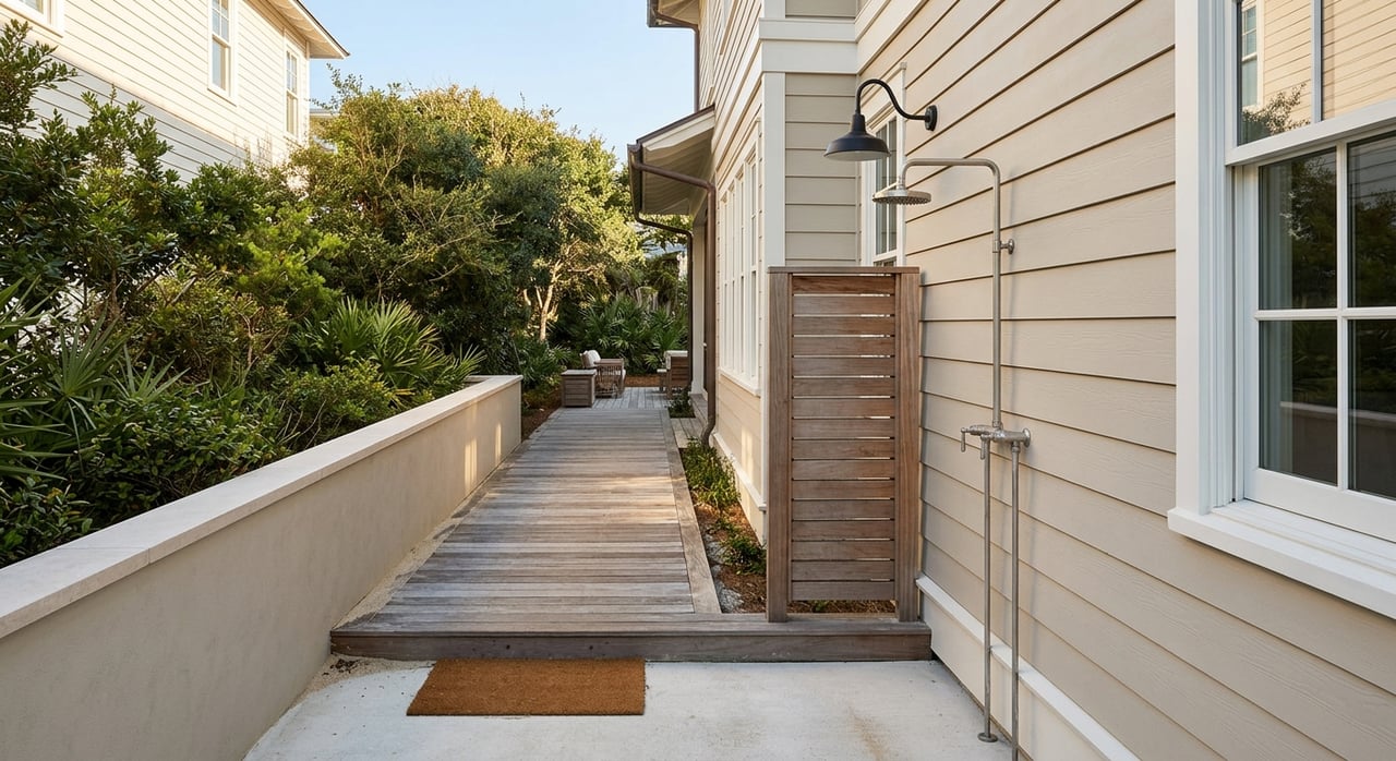
If minimizing drive time is your top priority, the neighborhoods closest to the base gates are tough to beat. You will find older single-family homes and duplexes, modest yards, and a straightforward commute of roughly 5 to 15 minutes off peak. Plan for occasional noise from base operations and confirm the gate you will use to match your exact worksite.
Willoughby Spit, Ocean View, East Beach
Along the Chesapeake Bay northeast of NSN, these waterfront areas also offer short drives to northern gates. Expect a similar 5 to 15 minutes off peak, with more variability when weather or incidents slow Hampton Boulevard or I-564. If you are considering property near the water, review elevation and check the FEMA Flood Map Service Center for flood zones before you decide.
Short commutes with more amenities
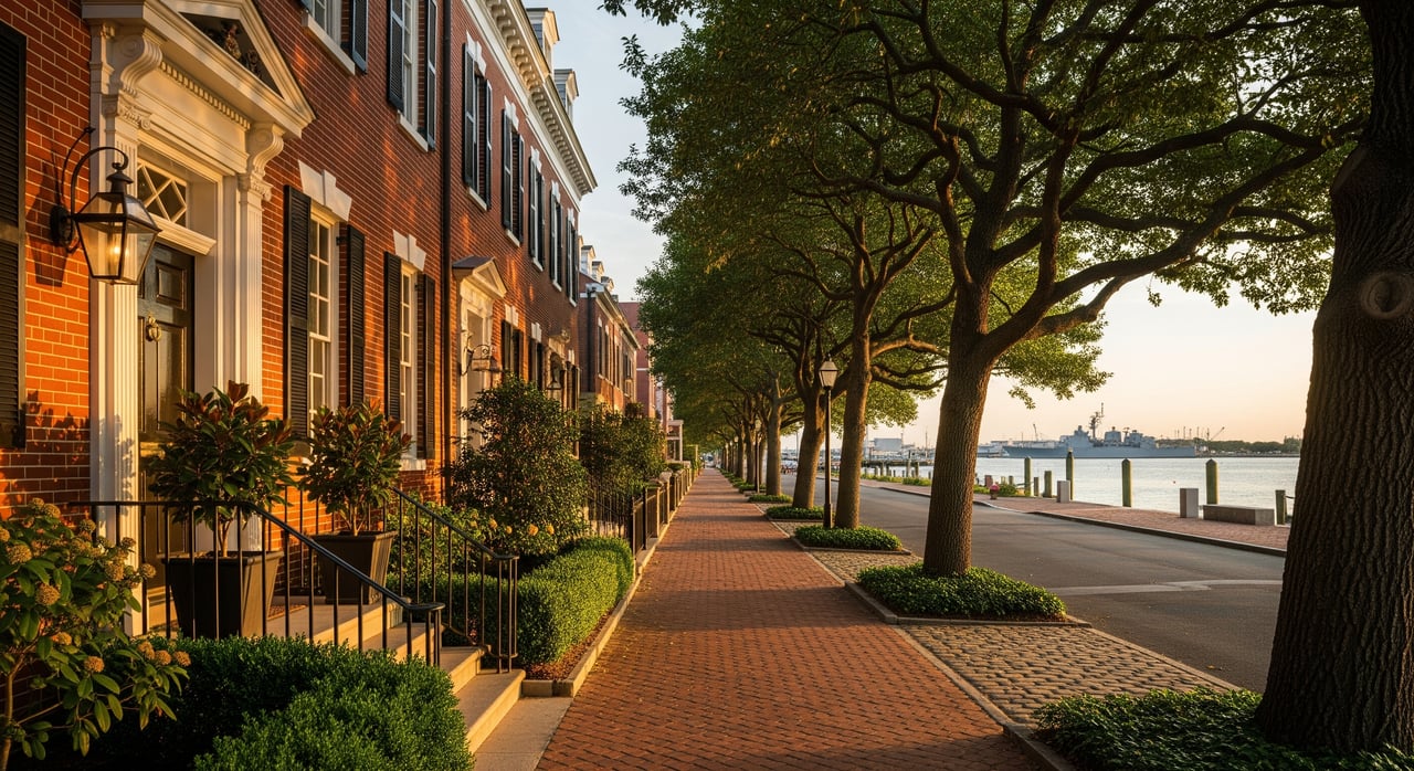
Ghent, Larchmont, West Freemason, Colonial Place
These central Norfolk neighborhoods blend historic charm with shops and dining. Your commute is typically 10 to 25 minutes off peak via Hampton Boulevard or I-564, depending on your destination on base. Many homes are older, so plan for maintenance considerations and limited street parking in certain blocks.
Park Place, Highland Park, Lamberts Point, Fairmount Park
Close to downtown and within reach of several base gates, these areas offer a mix of single-family homes and apartments. Off-peak commutes are usually in the 10 to 20 minute range, with longer times during the morning inbound window.
Downtown Norfolk and NEON District
If you want urban living with access to restaurants, the waterfront, and The Tide, downtown can work well. Commutes can be short depending on your gate, often 10 to 20 minutes off peak. Consider parking costs, event traffic, and occasional delays at bridge and tunnel approaches during busy periods.
Virginia Beach options with reasonable commutes
Pembroke, Hilltop, Town Center
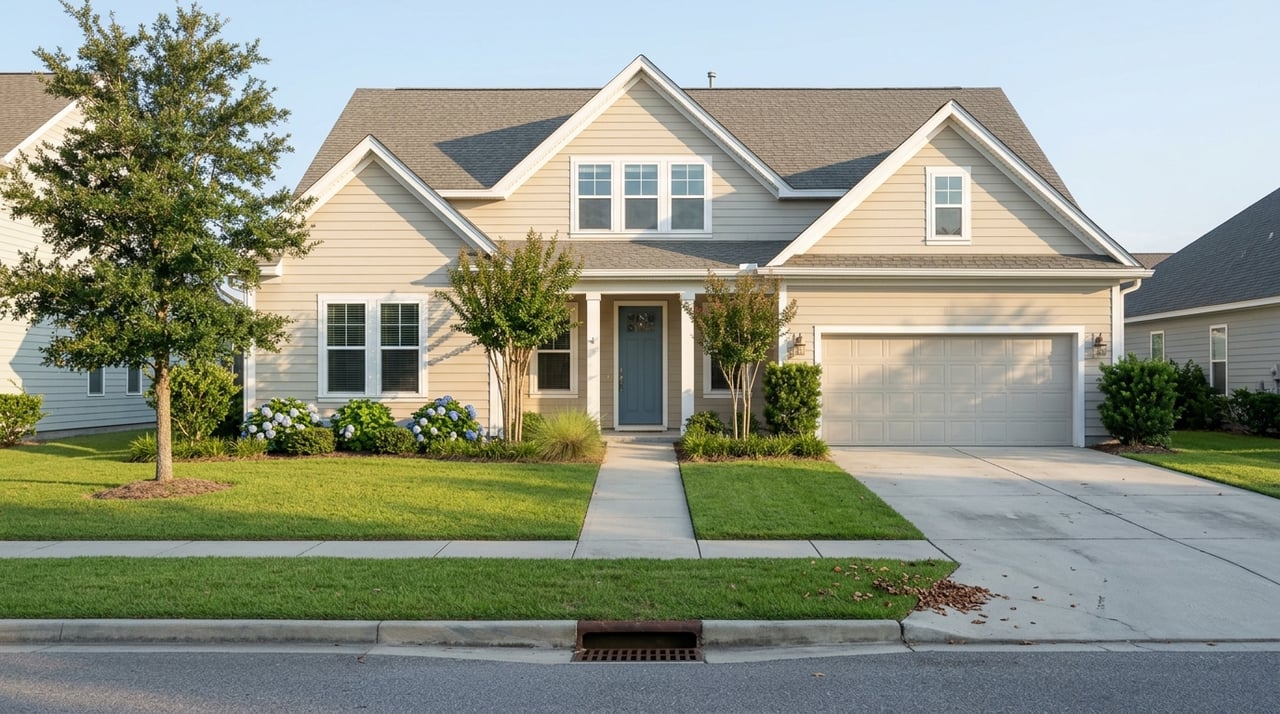
Northern Virginia Beach draws many NSN commuters seeking newer housing and strong retail options. Using I-264 west into Norfolk, your off-peak commute often ranges 15 to 30 minutes. Peak periods can add time due to I-264 congestion. The tradeoff is suburban amenities and newer subdivisions.
Lynnhaven, Great Neck, North End (VB)
These popular areas offer single-family homes near inlets and the oceanfront. Commutes are usually 20 to 35 minutes off peak via I-264 or local arterials. You get coastal access and established neighborhoods, with some dependence on highway flow.
Princess Anne, Kempsville
With larger lots and a more suburban feel, these central Virginia Beach locations tend to run 25 to 40 minutes off peak. Rush hour adds variability. If you favor space and newer construction, test-drive your route to see if the commute fits your schedule.
Sandbridge and Southern VB
If you prioritize beachfront or rural-coastal living, Sandbridge and southern Virginia Beach can be ideal. Expect longer, less predictable commutes and plan accordingly. Flood exposure may be higher near water; check NOAA storm surge guidance and FEMA maps before you commit.
Across the river: Portsmouth options
Olde Towne and Midtown Tunnel corridor
Portsmouth offers its own amenities and often lower housing costs. Drives can be competitive depending on your gate, but tunnel traffic is the swing factor. Incidents, maintenance, or closures at the Midtown or Downtown Tunnels can add significant time. If you choose this option, keep a backup route and monitor Virginia Department of Transportation advisories.
Routes and what to expect
- I-564 connects I-64 and I-264 directly to the base. It is a primary approach that can back up during shift changes.
- I-264 carries much of the Virginia Beach to Norfolk traffic. It is efficient off peak, but rush hour can add 15 to 30+ minutes.
- Hampton Boulevard links many central Norfolk neighborhoods to the gates. It is straightforward, yet often busiest 6:30 to 8:30 a.m. and 3:30 to 5:30 p.m.
- Tunnel corridors and the HRBT influence reliability if you live across the Elizabeth River or the bay. Check planned work and traffic advisories through VDOT.
Tactical tips:
- Identify your primary gate and test your route at actual shift times.
- Factor 5 to 15 minutes for gate entry most mornings.
- Use apps for incident routing and consider carpool options where available.
Transit and ride alternatives
Hampton Roads Transit operates buses across Norfolk and Virginia Beach and runs The Tide Light Rail in Norfolk. The light rail does not enter the base, but a park-and-ride plus a short drive can reduce stress and parking needs. Some commands operate shuttles for crews or employees. Check availability with your gaining command.
Housing, schools, and flood risk
Closer-in Norfolk neighborhoods often feature older housing stock, which can be more affordable, with historic districts offering character. Virginia Beach tends to have newer subdivisions, more shopping clusters, and larger lots in certain areas. Rental availability is seasonal, with higher demand during summer PCS months.
School systems are separate. Use district tools to confirm current assignments and enrollment timelines with Norfolk Public Schools and Virginia Beach City Public Schools. Many families choose Virginia Beach for suburban housing and school preferences, while others prioritize a shorter commute in Norfolk. Verify boundaries and programs directly with the districts.
For homes near bays, rivers, or the oceanfront, review elevation, drainage, and flood insurance needs. The FEMA Flood Map Service Center and NOAA resources can help you assess risk. Insurance, HOA fees, and property taxes vary between cities, so include them in your monthly budget.
Quick decision framework
Use these questions to focus your search:
- Commute: Do you want a 5 to 15 minute drive with older housing, or would you trade 20 to 35+ minutes for newer homes and more suburban amenities?
- Schools: Have you checked the latest school boundary tools and timelines for each district?
- Housing type: Do you prefer a historic home near restaurants, a newer subdivision, or a coastal property near the beach?
- Flood exposure: Are you comfortable with flood zones and insurance requirements near the water?
- Gate access: Which gate will you use most, and have you tested the route at your shift hours?
PCS commute checklist
- Identify your command location and primary gate(s).
- During your house-hunting trip, drive the morning and afternoon routes at your planned shift times.
- Confirm base access procedures and visitor ID requirements on official base pages.
- Review HRT routes and park-and-ride options at Hampton Roads Transit if you have one vehicle.
- Check school boundaries and enrollment steps with Norfolk Public Schools or Virginia Beach City Public Schools.
- Review local services and neighborhood details through the City of Norfolk and the City of Virginia Beach.
- Check flood maps via the FEMA Flood Map Service Center and ask about elevation and past flooding.
- Start your housing search early if you are arriving in peak PCS season.
Local help for your move
Choosing the right neighborhood around Naval Station Norfolk is about balancing commute time, home style, schools, and flood risk. If you want a tailored short list and a plan to test-drive routes, connect with Robert Ramey for locally grounded guidance and a smooth PCS home search.
FAQs
What are the closest Norfolk neighborhoods to Naval Station Norfolk?
- Sewells Point and the Northside, plus Willoughby Spit, Ocean View, and East Beach, typically offer the shortest off-peak drives, often around 5 to 15 minutes.
How long is rush-hour commuting from Virginia Beach to Naval Station Norfolk?
- Off-peak from northern Virginia Beach can be 15 to 30 minutes, and peak periods can add 10 to 30+ minutes depending on I-264 conditions and incidents.
Is public transit practical for commuting to Naval Station Norfolk?
- Many commuters drive, but Hampton Roads Transit buses and The Tide can help some households, especially with park-and-ride, though service does not extend onto the base.
How do schools compare between Norfolk and Virginia Beach for NSN families?
- The systems and boundaries differ; many families choose Virginia Beach for suburban housing and school preferences, while others pick Norfolk for shorter commutes. Verify details with each district.
Should I worry about flood risk near Naval Station Norfolk homes?
- If you are near water or low-lying areas, yes, review flood zones, elevation, and insurance using the FEMA Flood Map Service Center and NOAA resources before deciding.